

10d •
Prospect Plot Maps Course is here!
I just posted our first course, go to the classroom tab to view! I hope you enjoy this gem as much as I do. Constructive feedback is welcomed, let me know what you guys think. Would you use it?
3
0
15d •
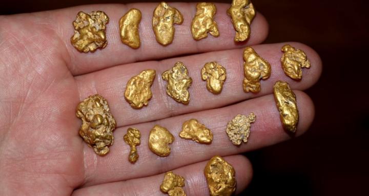
Prospector-built KMLs that save you 10–20 hours of claim research per trip
Prospector-built KMLs that save you 10–20 hours of claim research per trip. I create ready-to-use Google Earth KML maps that overlay gold-bearing ground with current mining-claim information, access routes, and on-the-ground prospecting insight. Each file is hand-built from public land and claim data, historic production records, and real-world experience, then distilled into clear “hunt here, avoid here, verify this” overlays. Instead of spending days clicking through MLRS, county records, and random online maps, you download a focused KML, load it into Google Earth, and instantly see likely open ground, claimed areas, key washes, benches, and travel routes for your next trip. 👀look in 🗺 Prospect Plot Maps tab above for more info. Have me build your map!
4
0
1-2 of 2
Leaderboard (30-day)
1

+11
2

+2
3

+2
4

+1
5

+1
Powered by