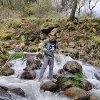
Oct '25 • General discussion
Paper Maps
While our phones and GPS devices are undeniably useful, I wanted to put in a strong word for a piece of essential gear that should never leave your backpack: the good old paper map.
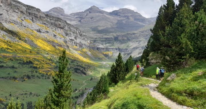
In the mountains, especially in Spain's big ranges, battery life can be fleeting, and signal is often non-existent. A detailed, durable paper map is the only truly reliable backup and the best way to maintain situational awareness. Nothing beats laying out a map to visualize the terrain, upcoming challenges, and potential bail-out routes.
In my experience, when hiking the two great areas we've discussed, there are two map producers that stand out:
- Editorial Alpina: For comprehensive coverage of the high mountains, Editorial Alpina makes, in my opinion, the gold standard for maps of the Pyrenees and Picos de Europa. They offer excellent detail, including hiking paths, refuges, and topographical information. They cover the entirety of those ranges, with perhaps around two dozen maps needed to cover the whole network of routes. If you're tackling any serious multi-day trek in the Pyrenees, these are the ones to get.
- Local Specialists: However, if you are focusing on a specific region, you can sometimes find even better local cartography. For example, in the Valencian Community, maps produced by el Tossal Cartografies are truly outstanding. They often feature an incredible level of trail detail and local knowledge that sometimes surpasses even Alpina's, though their coverage is limited to that specific area.
0
0 comments
Paper Maps
powered by
skool.com/hiking-in-spain-6512
Everything about hiking in Europe - from learning to navigate the trails and essential maps to trail recommendations all around the country.
Suggested communities
Powered by