Activity
Mon
Wed
Fri
Sun
Aug
Sep
Oct
Nov
Dec
Jan
Feb
Mar
Apr
May
Jun
Jul
What is this?
Less
More
Memberships
Agriculture Mapping School
77 members • Free
1 contribution to Agriculture Mapping School
Jun '25 •
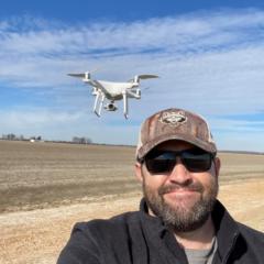
Welcome! Introduce yourself + share a pic of your technology🎉
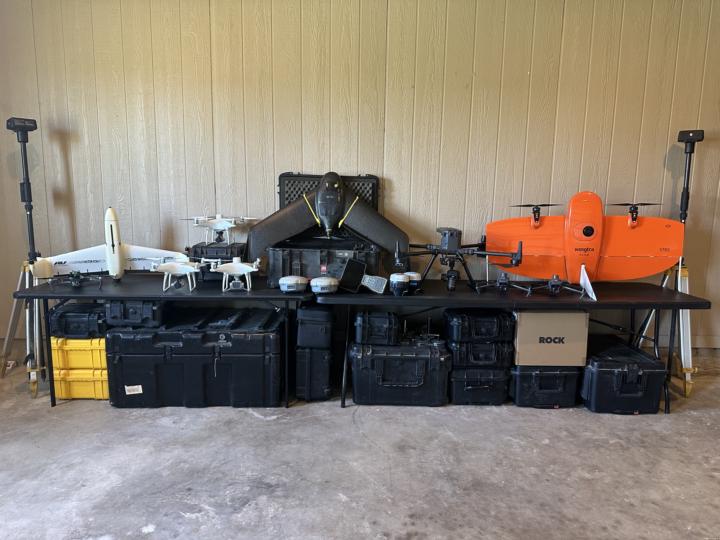
Let's get to know each other! Comment below sharing where you are in the world, a photo of your technology, and how you use it to make money weekly. 😊 This group aims to introduce innovative methods for enhancing efficiency and precision in agriculture through the use of drone technology. The majority of classwork and discussions will focus on elevation and its applications in agricultural practices. Additionally, you will learn about various GPS technologies, mapping capabilities, and how to be a well-rounded Agriculture Mapping Technician, providing essential services in your agricultural communities in the future. Below is a picture of all my drone technology from 2019 to the present, all of which has been used exclusively for agricultural purposes.

2 likes • Jun '25
12 years doing oilfield environmental reclamation, remediation and spill response on the Canadian prairies. Self taught gis, drones, multispectral, dsm workflows and using Geo statistics. Grew up on a ranch and in ag community, so finding ways to explore similar concepts and issues in the two industries. Interested in making zone maps, and using elevation or topography to help account for changes in vegetation health. Combining multiple raster (veg index, topography, soil conductivity etc) and vector datasets to improve decision making. Would love to learn more about surface drainage, and machine learning classifications or plant identification. I feel empowered by ai as a coding tool, allowing me to learn and leverage code to explore new ideas. Equipment is mavic 3m, qgis webodm lightning / pix4dfields. Access to rtk rover for gcp collection.
1-1 of 1

@jesse-lawrence-6811
Environment / oil and gas remediation, ranching, ag, and AI.
Active 391d ago
Joined Jun 8, 2025
Saskatchewan, Canada
Powered by